
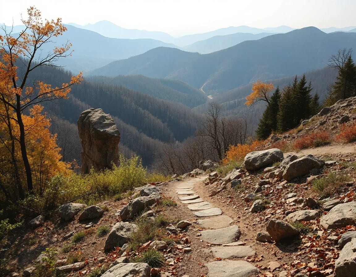
The Buffalo National River offers more than a beautiful float: its trailheads, gravel-bar access points, overlooks, and historic sites create a different experience in every season. Whether you are considering a weekend visit or exploring homes near the river corridor, knowing how the access points connect can help you plan with confidence.
Start With the River’s Three Distinct Districts
Flowing through the Ozark Mountains of north central Arkansas, the Buffalo National River was designated as America’s first national river in 1972. Its protected corridor stretches for more than 150 miles, with rugged bluffs, clear water, hardwood forests, historic structures, and changing seasonal conditions. The river is commonly explored in upper, middle, and lower districts, each with its own access points, hiking options, and travel considerations.
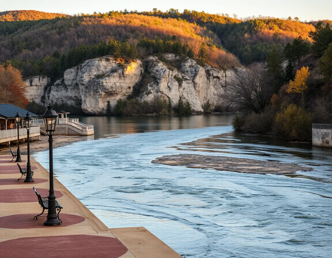
The upper district, near Ponca, Boxley Valley, and Steel Creek, is known for dramatic bluff views and quick access to some of the region’s most recognizable trailheads. Water levels here can change rapidly, so paddling opportunities depend heavily on recent rainfall. Even when floating is not practical, the surrounding roads and trail systems offer scenic ways to experience the landscape.
Farther downstream, the middle district includes popular stopping points such as Kyle’s Landing, Pruitt, Carver, and Tyler Bend. This portion of the corridor gives visitors a useful mix of river access, campsites, overlooks, and interpretive locations. The lower district around Buffalo Point and the White River confluence feels more open, with broad water views and access to additional hiking and camping areas.
River conditions are seasonal rather than predictable: check current water levels, road conditions, and National Park Service alerts before selecting a launch point or planning a hike near the water.
For people exploring nearby real estate, these districts are also a practical way to think about location. A property may be close to one access point but farther from another, and winding Ozark roads can make drive times more important than straight-line distance. It is helpful to compare access to the places you expect to use most, whether that means a trailhead, a public boat launch, a town for supplies, or a route toward Harrison, Jasper, Marshall, or Mountain View.
Trailheads Worth Building Into Your Route
The Buffalo River region has trails for short walks, bluff-top viewpoints, creekside routes, and longer backcountry outings. Conditions vary with weather, leaf cover, trail maintenance, and water levels, so sturdy footwear, drinking water, navigation tools, and a downloaded map are smart additions to any outing.
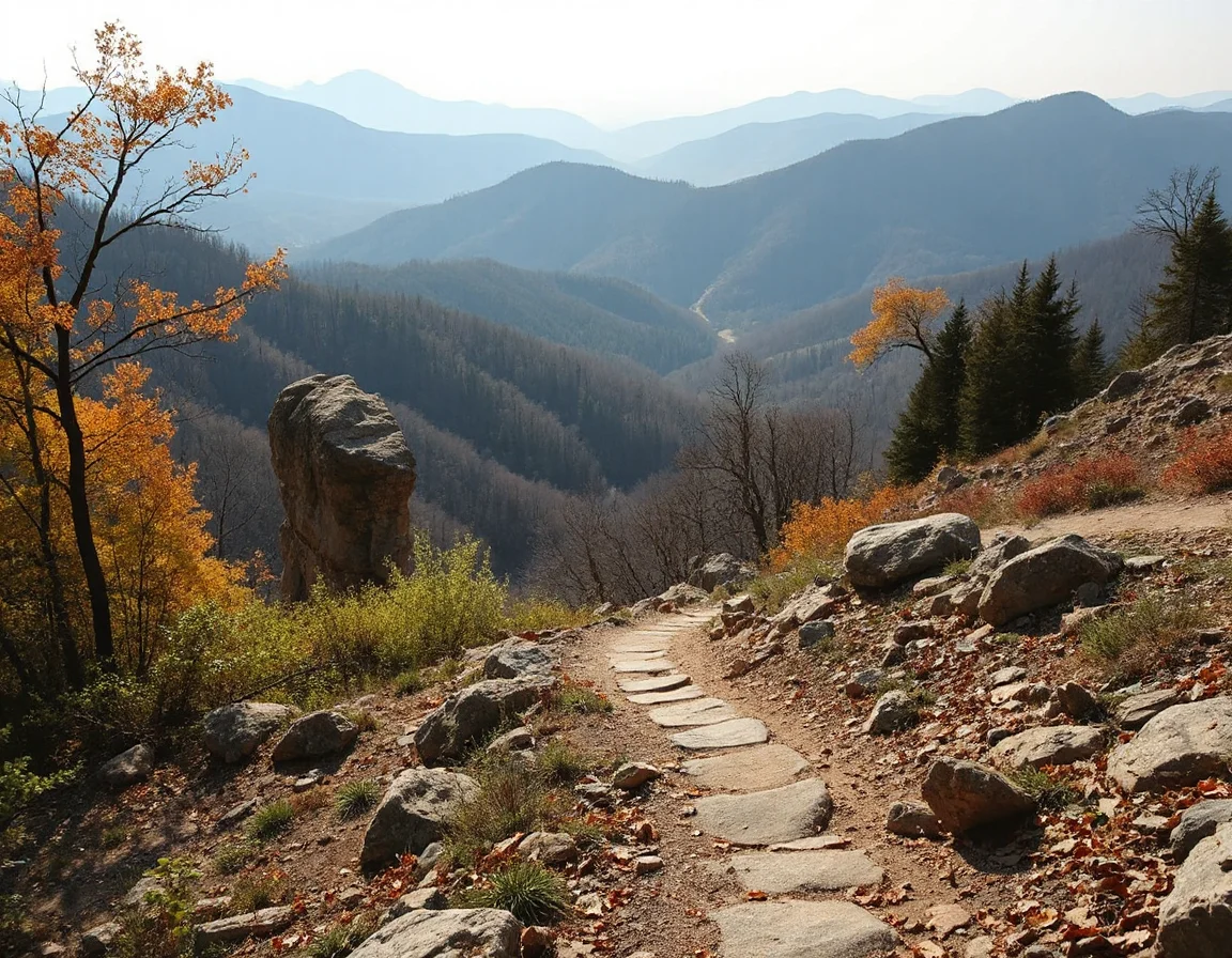
Lost Valley Trail, near Ponca, is often a first stop for visitors because it follows Clark Creek through a shaded valley. The route includes creek crossings, rock formations, and a cave area near the end of the trail. Waterproof footwear can be useful after rain, and visitors should confirm trail conditions before leaving the parking area.
For a more elevated perspective, trails in the Ponca and Steel Creek area provide access to overlooks above the river. The nearby Whitaker Point trail is widely known for its rock outcrop view, though it is managed outside the national river corridor and requires careful preparation due to uneven terrain. In the middle district, the Buffalo River Trail links portions of the river corridor through forest, ridge lines, and bluff country, offering options for longer hikes when planned with transportation and daylight in mind.
The Tyler Bend area adds a different pace to a river day. Interpretive exhibits and nearby trails can provide context for the natural and cultural history of the Buffalo River, while the access area makes a convenient stop for maps, restroom facilities, and updated visitor information. Downriver, Buffalo Point offers additional trails and river scenery that can be especially appealing when visitors want to pair a short hike with time near the water.
A trail plan is stronger when it includes a turnaround time. Bluff overlooks, creek crossings, and unpaved roads can take longer than expected, especially after rain or during shorter winter days.
Choose an Access Point That Matches the Day
Access points are not interchangeable, and selecting one based on your plans can make the day smoother. Ponca and Steel Creek are useful starting points for exploring the upper river’s bluffs and nearby trailheads. Steel Creek is especially recognized for its view of towering rock formations rising above the riverbank, while Ponca provides access to Boxley Valley roads and several local recreation options.
Kyle’s Landing, Pruitt, and Carver are familiar names for people arranging middle-river float segments. These locations can be used for launching, taking out, camping, or simply spending time along the river, but amenities and road surfaces differ from site to site. During popular seasons, parking and shuttle arrangements deserve advance attention. Always respect posted regulations, use designated access areas, and avoid blocking narrow roads or private driveways.
Tyler Bend and Buffalo Point are especially useful for visitors who want established facilities and a straightforward place to orient themselves. They can also be logical anchors for an itinerary that combines scenic driving, short hikes, historic interpretation, and time on the water. Because the river is free-flowing, water conditions should guide any float decision more than a calendar date.
It is also worth remembering that public access can be a valuable feature without being the only factor in a home search. Internet availability, road maintenance, property boundaries, floodplain information, well or septic details, and drive time to daily services all deserve the same careful review as proximity to recreation.
Explore the Buffalo National River area
What Nearby Housing Searches Should Include
Homes near the Buffalo National River range from in-town properties to acreage, cabins, newer construction, and rural homes reached by county roads. Each setting has a different ownership checklist. Buyers can benefit from asking about access easements, utility providers, road responsibility, septic permits, survey records, and whether portions of a parcel are located in a designated flood hazard area.
For properties with river-adjacent scenery or recreational access, it is wise to separate the view from the practical details. A scenic location may involve a steep drive, seasonal road conditions, limited cell service, or additional maintenance. None of these factors automatically make a property more or less appealing; they simply help clarify how it may fit your needs, budget, and preferred routine.
Local inventory can shift by season, and properties in the broader Buffalo River region may be spread across several communities and counties. Search criteria such as acreage, road type, water access, exterior condition, distance to public land, and price range can make the process more efficient than relying on a single town name. A knowledgeable real estate professional can help compare listings while keeping attention on disclosures and the details that matter for each property.
Search Buffalo National River listings
Make Time for the Details That Create a Better Visit
The Buffalo National River rewards a flexible itinerary. Begin with one primary destination, keep a backup trail or access point in mind, and leave room for overlooks, changing weather, and the occasional gravel-road detour. Pack out all trash, use established campsites where required, and give wildlife and fragile riverbanks plenty of space.
From a quiet morning beside the water to an afternoon hike beneath limestone bluffs, the river corridor offers a memorable way to experience Arkansas’s Ozark landscape. For those considering a move or a second property in the region, exploring the trails and access points firsthand is also one of the best ways to understand the terrain, travel patterns, and everyday possibilities that come with living near this remarkable national river.